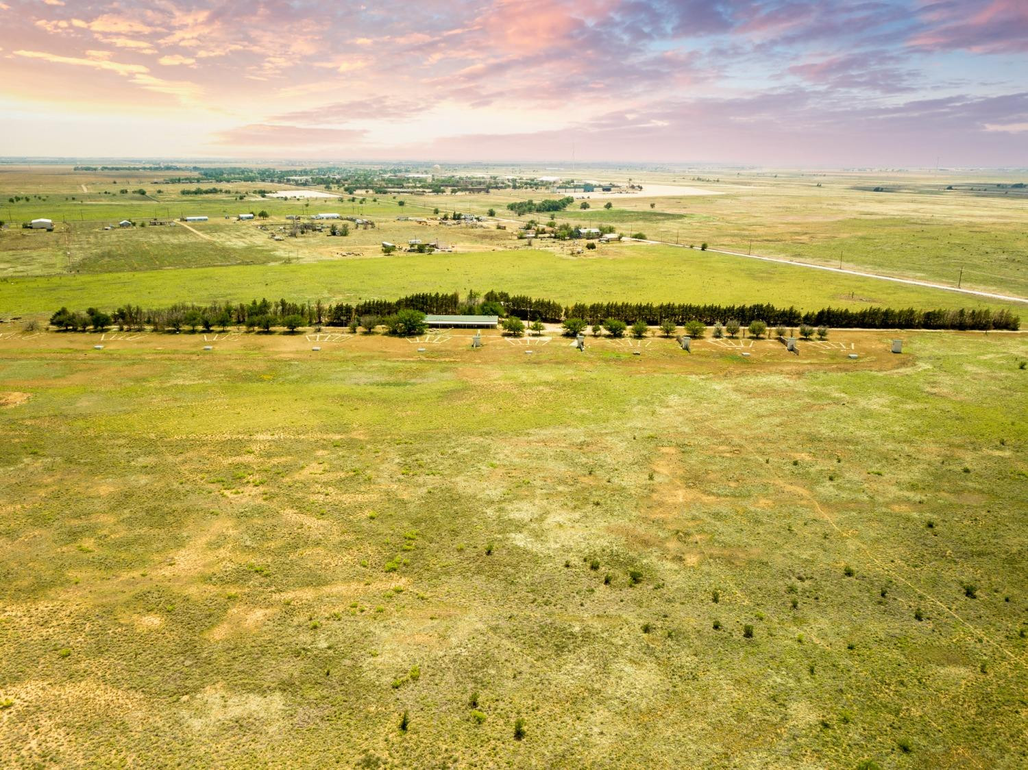
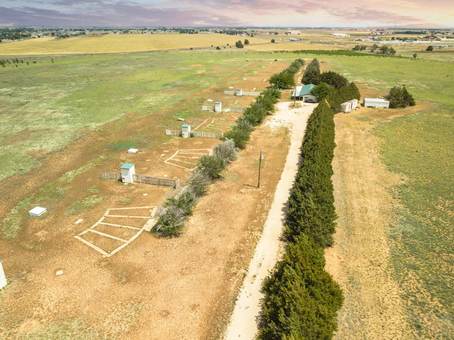
Aerial view of open acreage with grassy fields, a long tree line, and scattered rural structures.
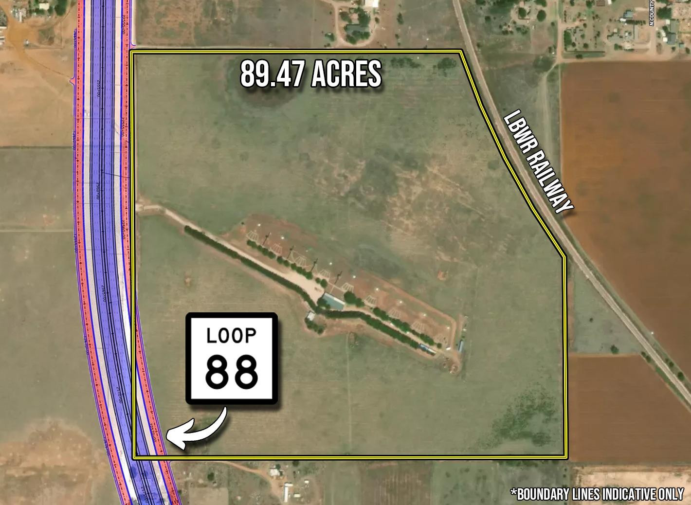
Aerial map outlines an 89.47-acre tract beside Loop 88 and the LBWR Railway.
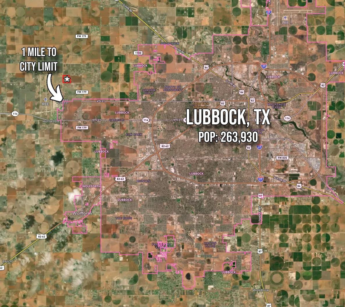
Satellite map marking a location one mile west of Lubbock’s city limit.
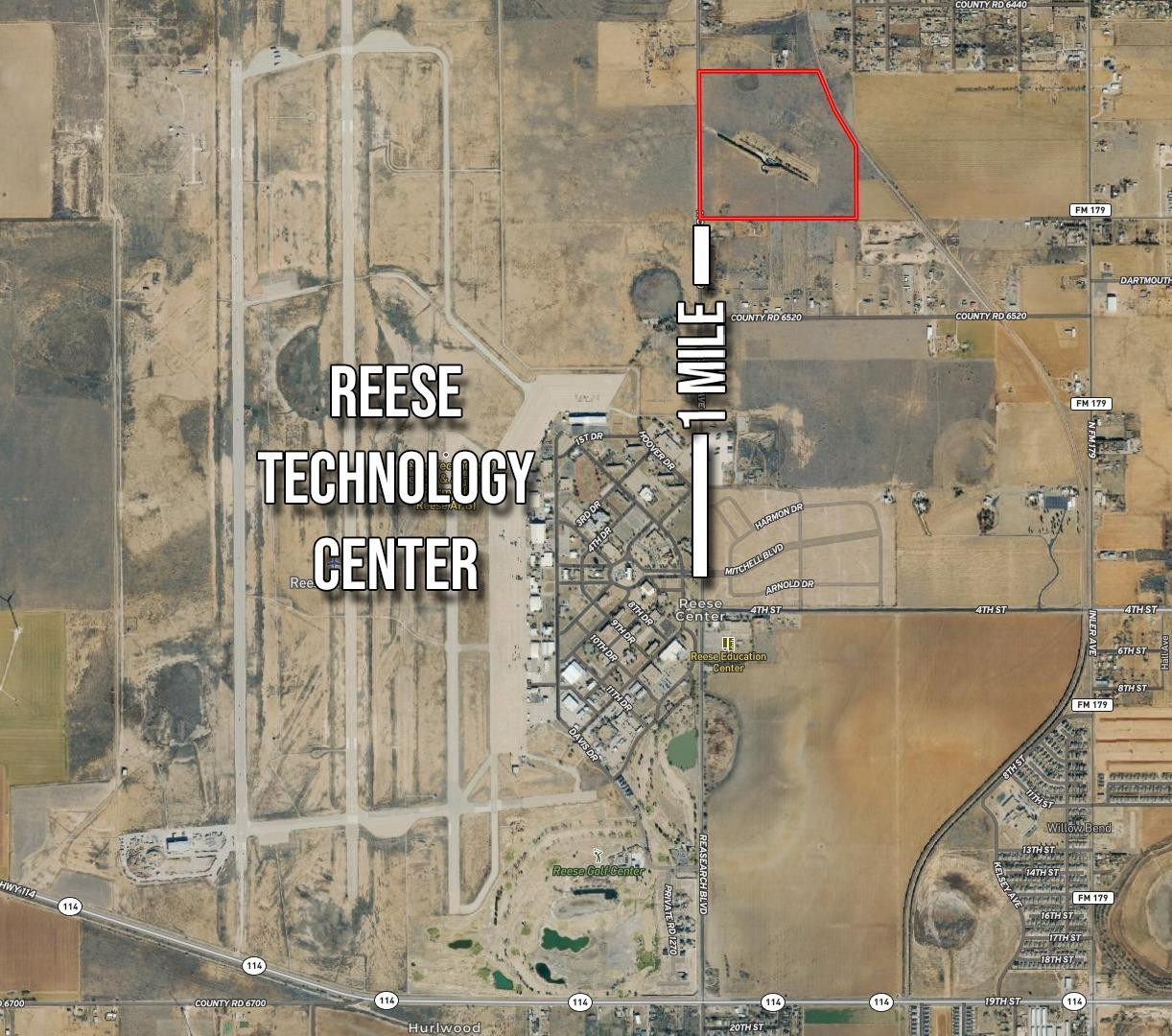
Aerial map showing a red-outlined tract north of Reese Technology Center near Lubbock.
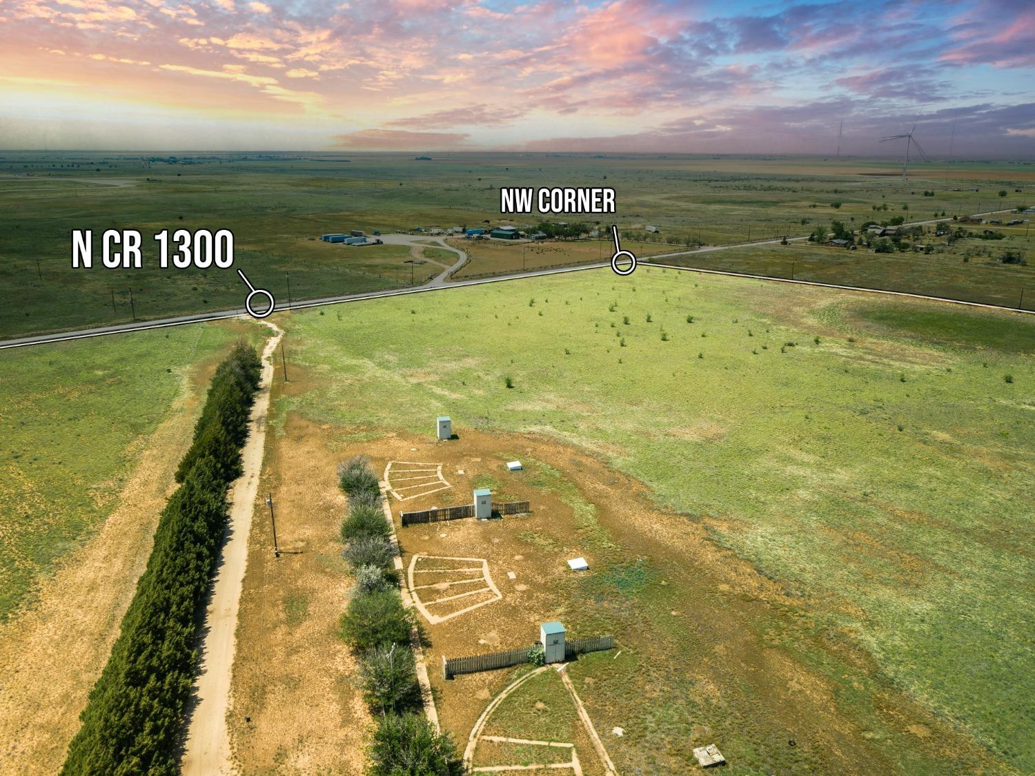
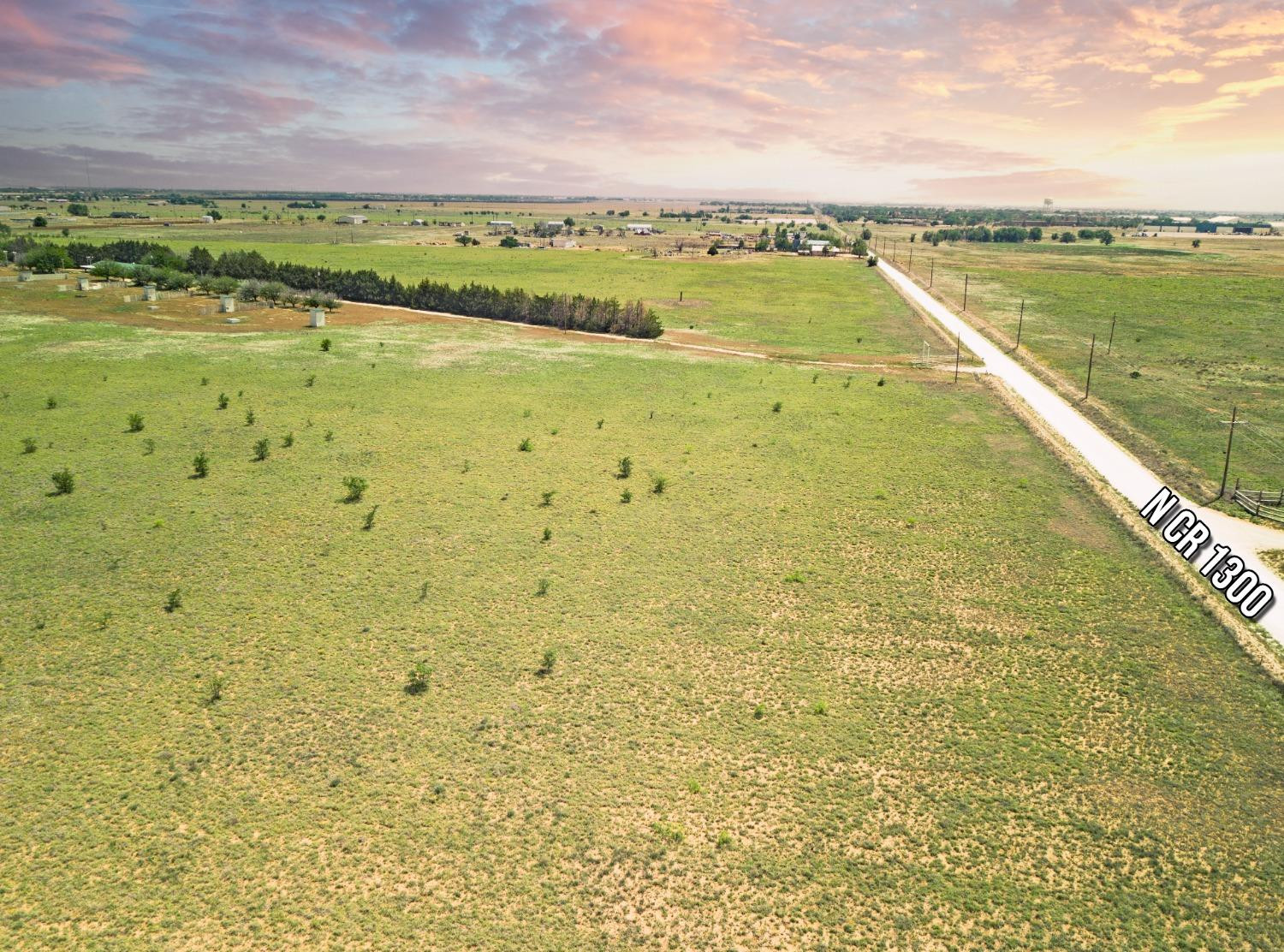
Aerial view of open acreage at N CR 1300, with the northwest corner marked.
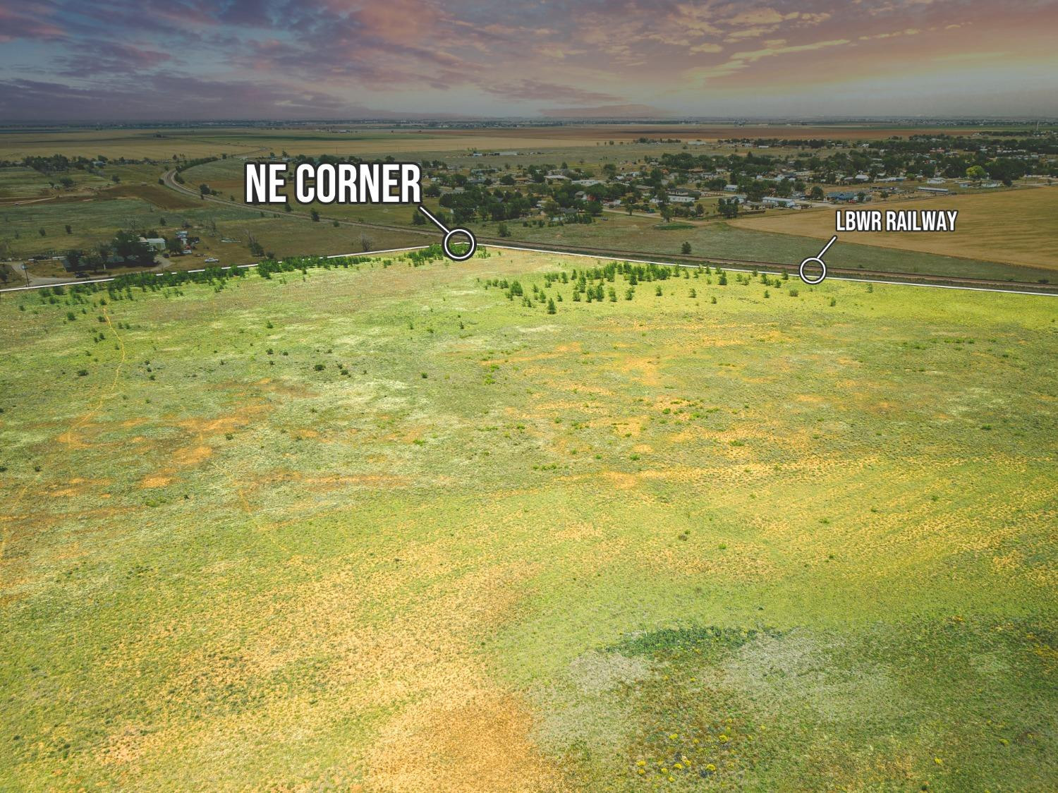
Aerial view of open acreage beside a railway, with the northeast corner marked.
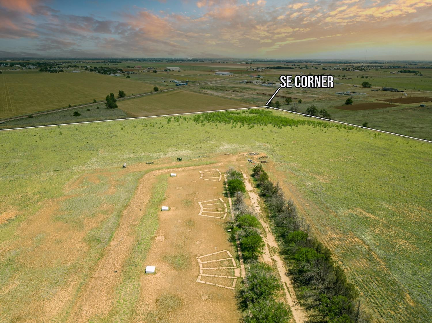
Aerial view of open rural land with the southeast corner marked and a dirt track through the property.
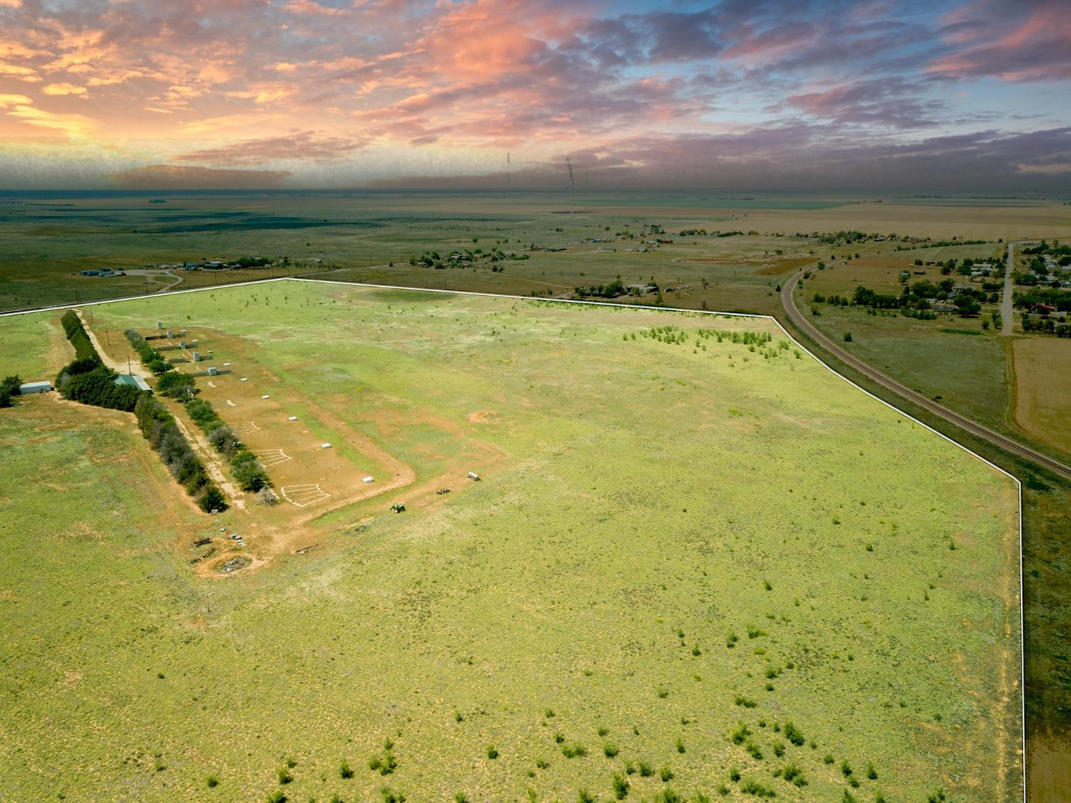
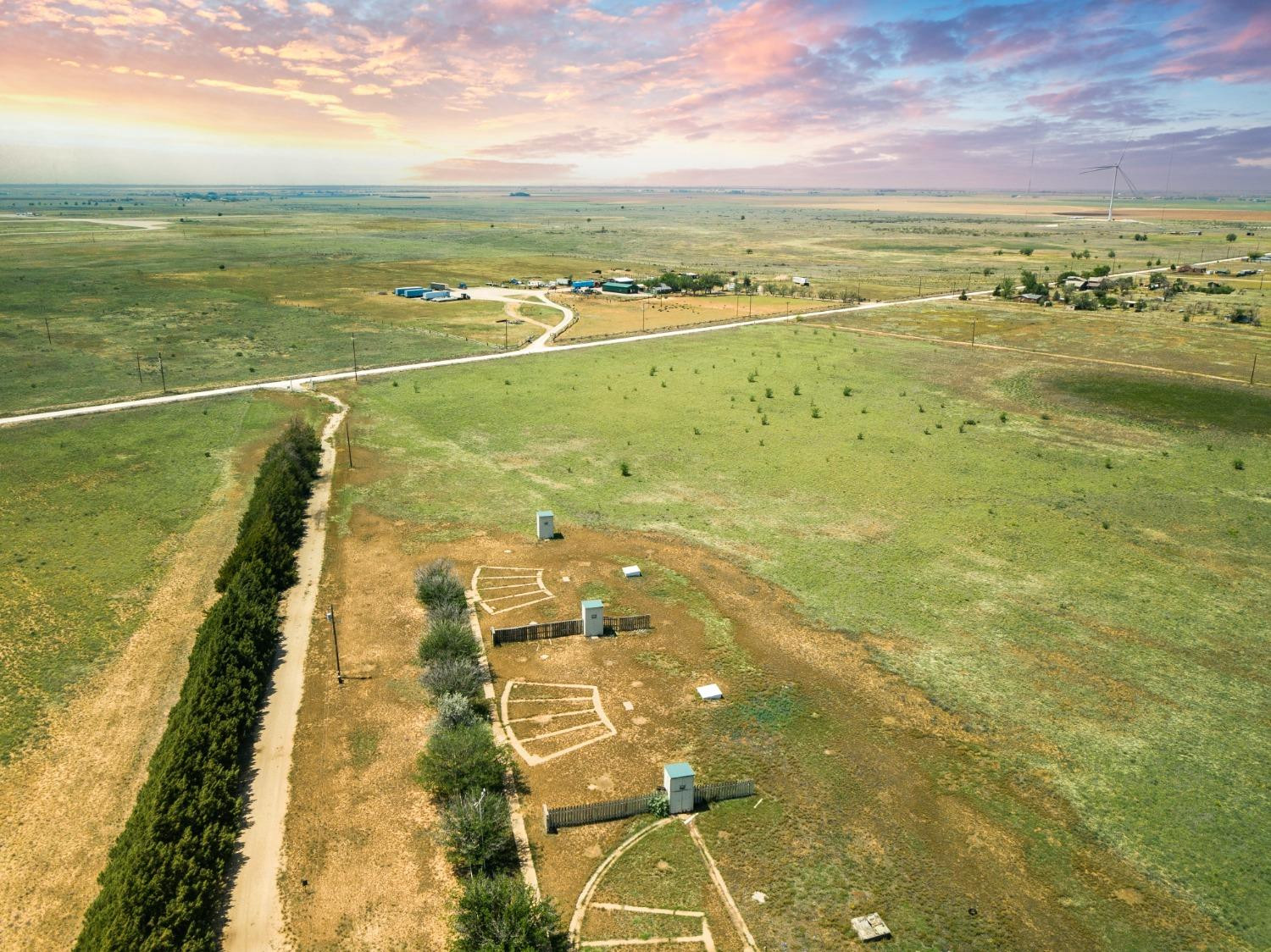
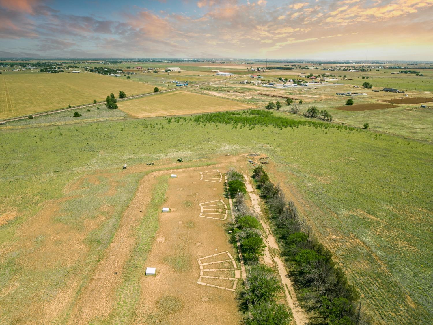
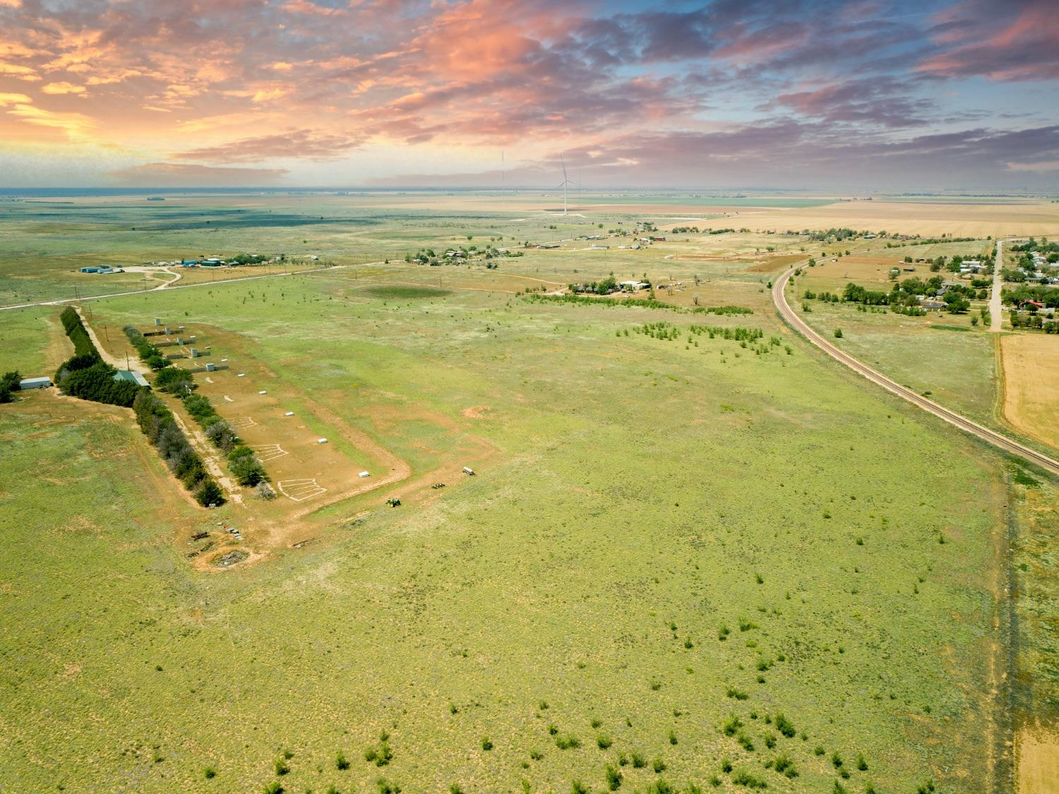
Aerial view of open land outlined by white boundaries, with small structures and a railway nearby.
Aerial view of open grassy land beside N CR 1300, with scattered buildings in the distance.
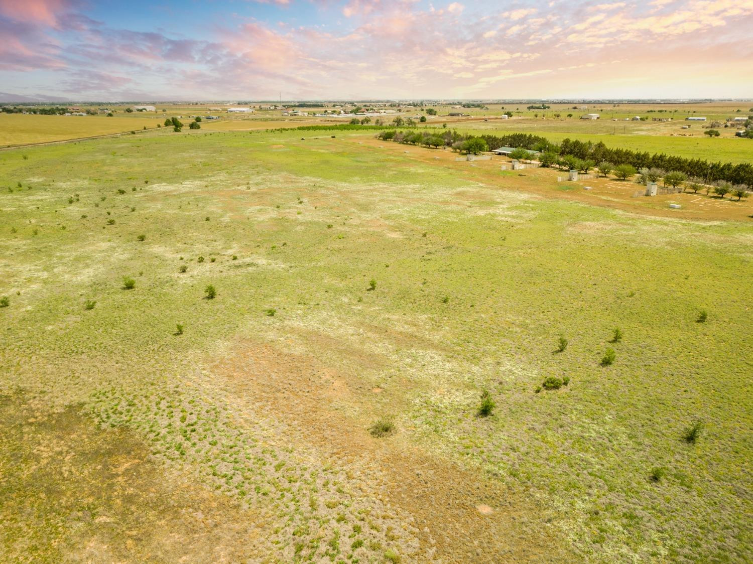
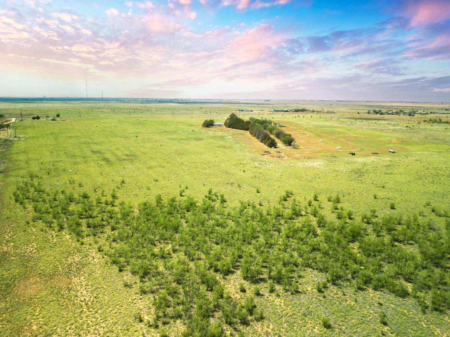
Aerial view of open rural acreage with scattered shrubs, a line of trees, and small outbuildings.
Aerial view of open grassy acreage with a dirt lane, scattered structures, and a line of trees.
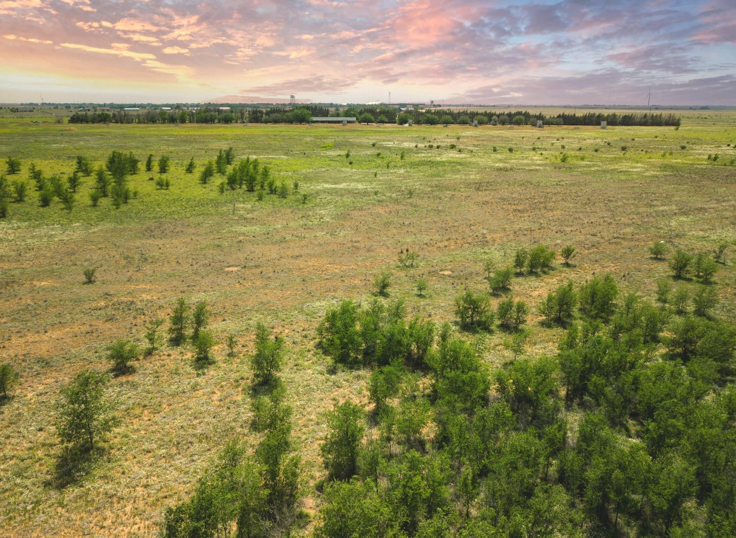
Aerial view of open acreage with sparse trees, fields, and a distant neighborhood at sunset.
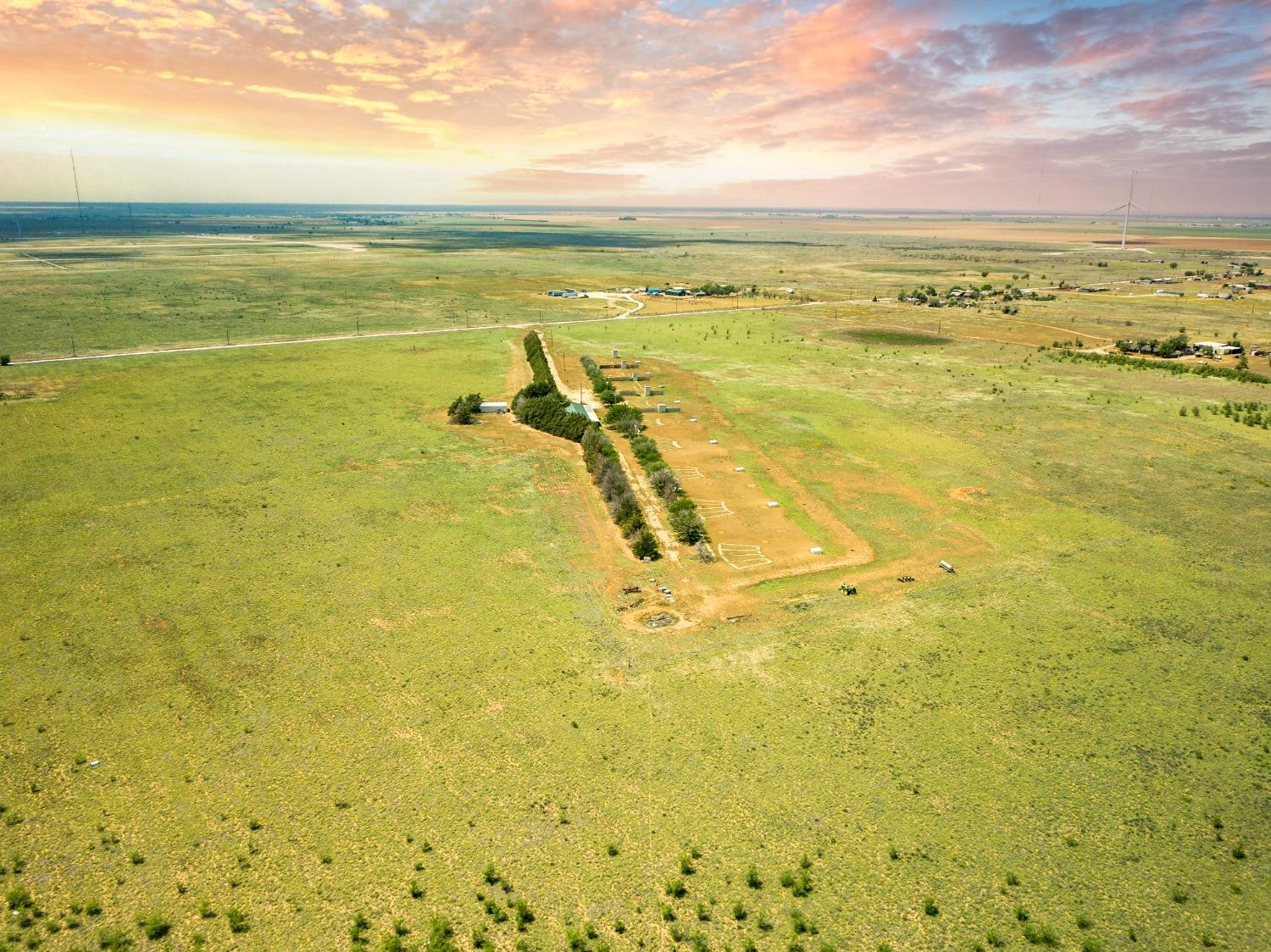
Aerial view of open rural acreage with a tree-lined drive, scattered outbuildings, and distant wind turbines.
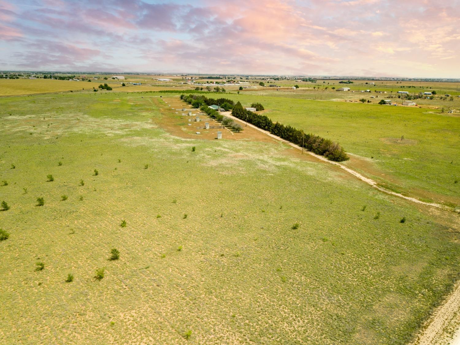
Aerial view of open acreage with a tree-lined dirt track and farmland stretching to the horizon.
Aerial view of expansive grassy acreage with scattered shrubs and a small cluster of outbuildings.
Aerial view of rural acreage with a long dirt drive, scattered buildings, and a distant wind turbine.
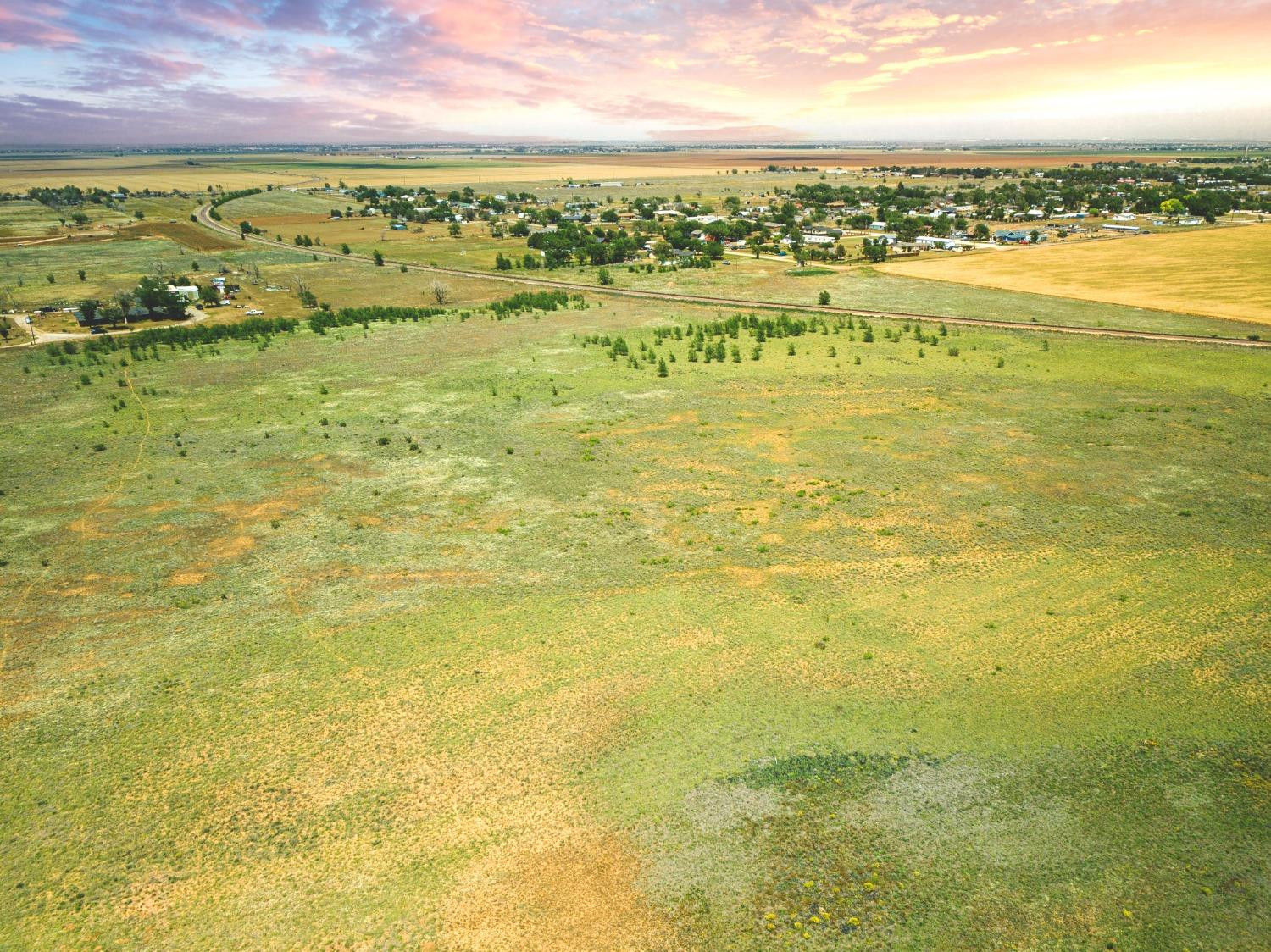
Aerial view of open rural land with a curving railroad track and distant wind turbine at sunset.
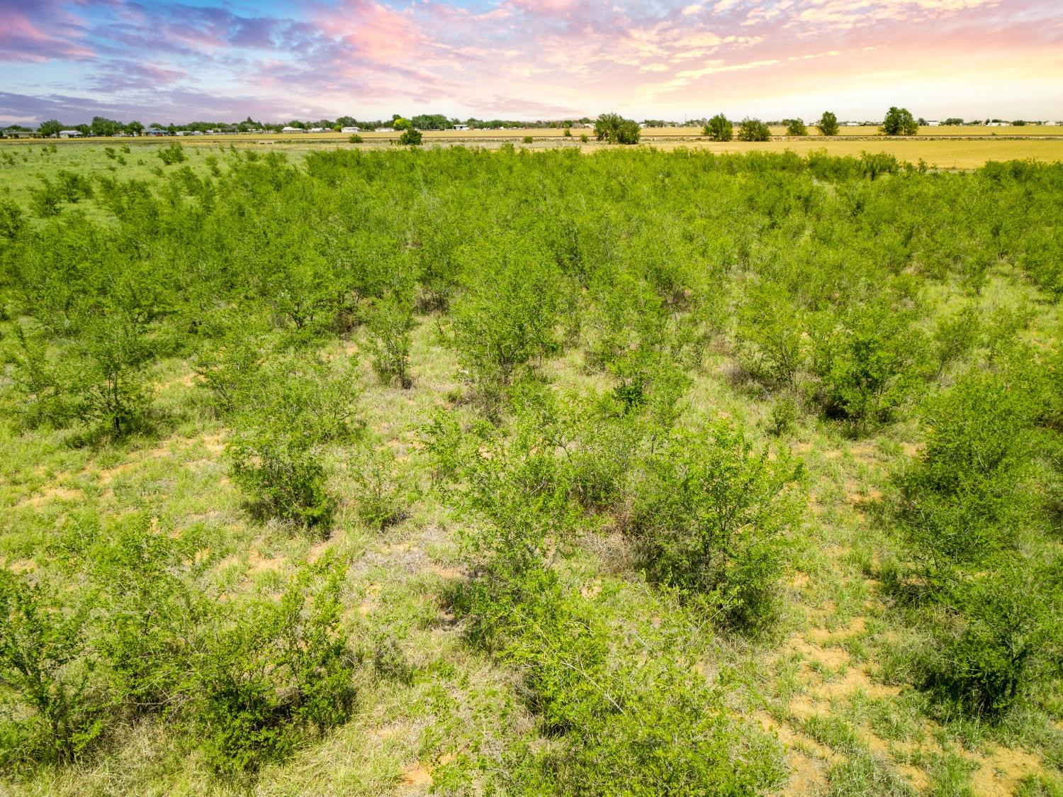
Aerial view of brush-covered vacant land with fields and distant buildings beneath a colorful sunset sky.
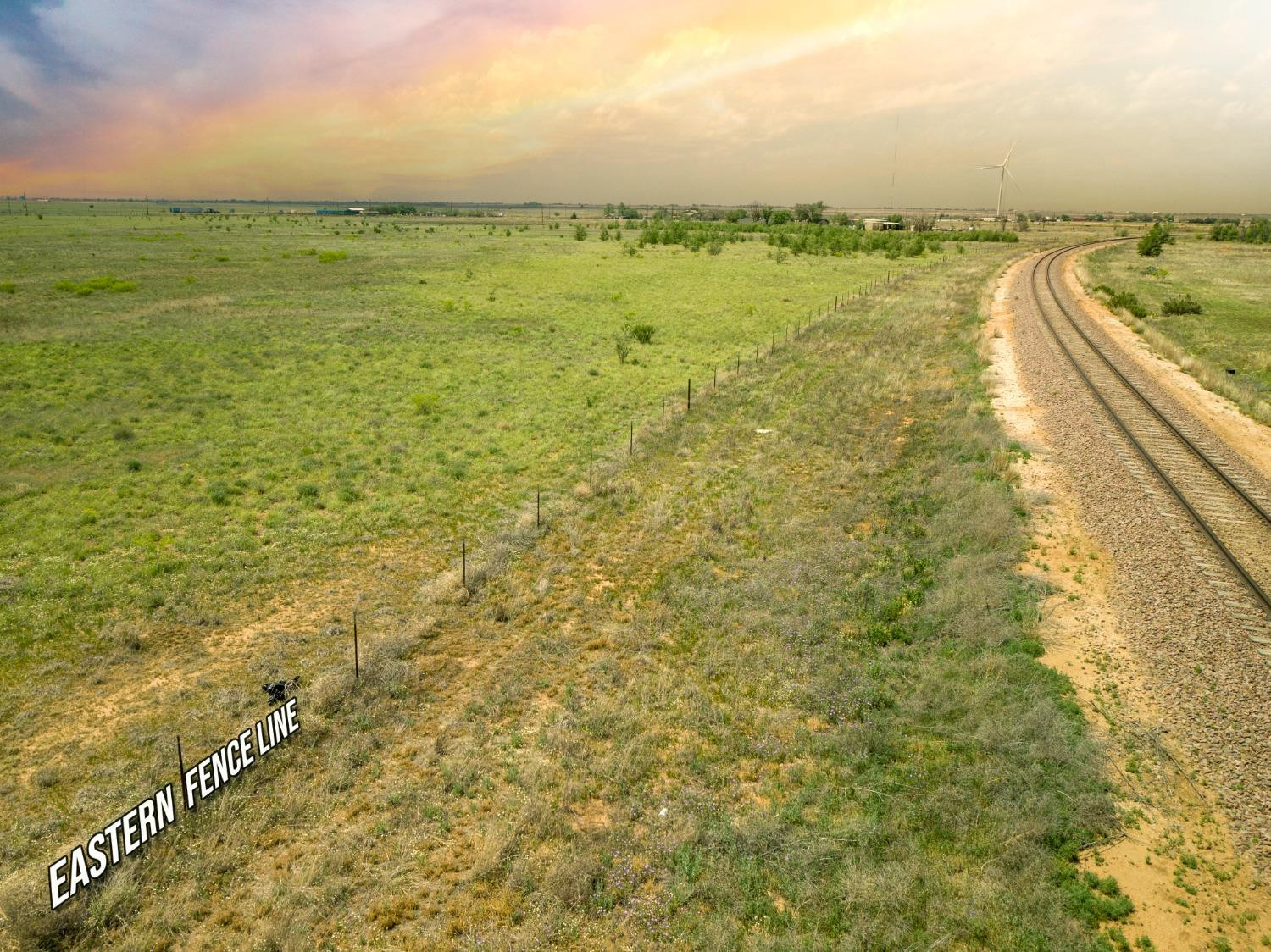
Aerial view of open grassland with the eastern fence line and curving railroad tracks.
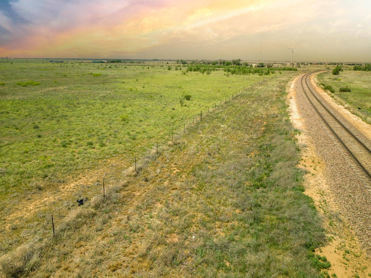
Aerial view of open land with curving railroad tracks and a wind turbine in the distance.
Open acreage with scattered trees and distant buildings beneath a colorful sunset sky.
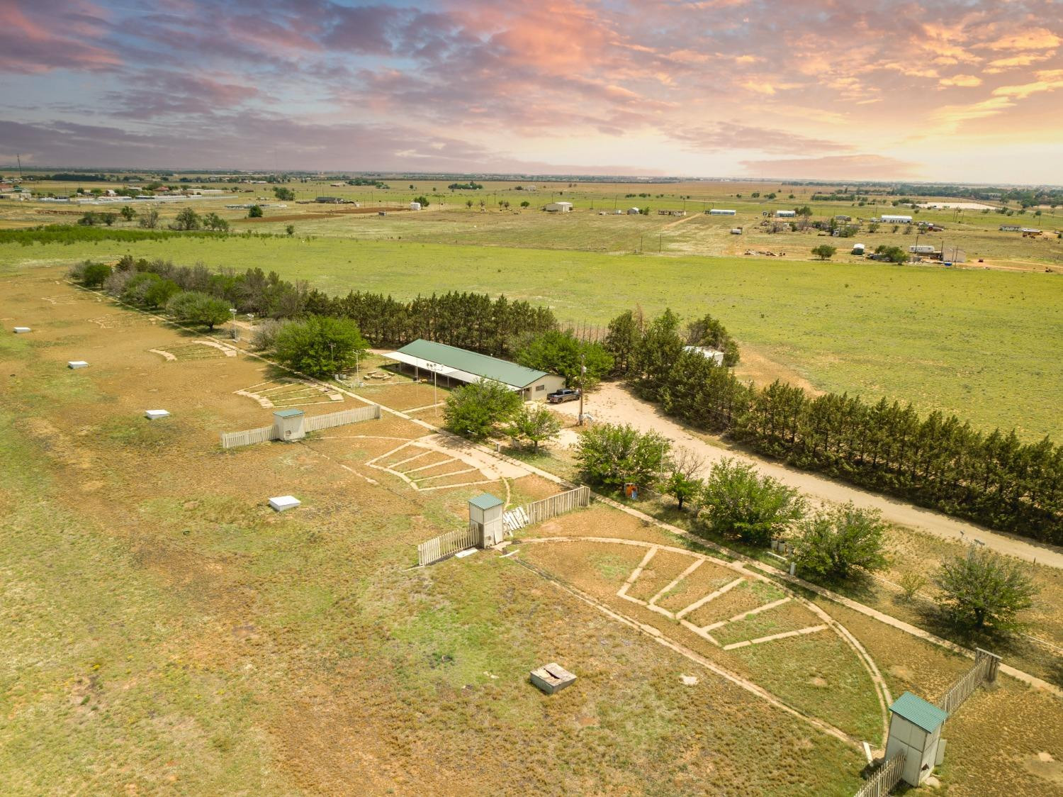
Aerial view of a rural property with a green-roofed building, fenced land, and sunset sky.
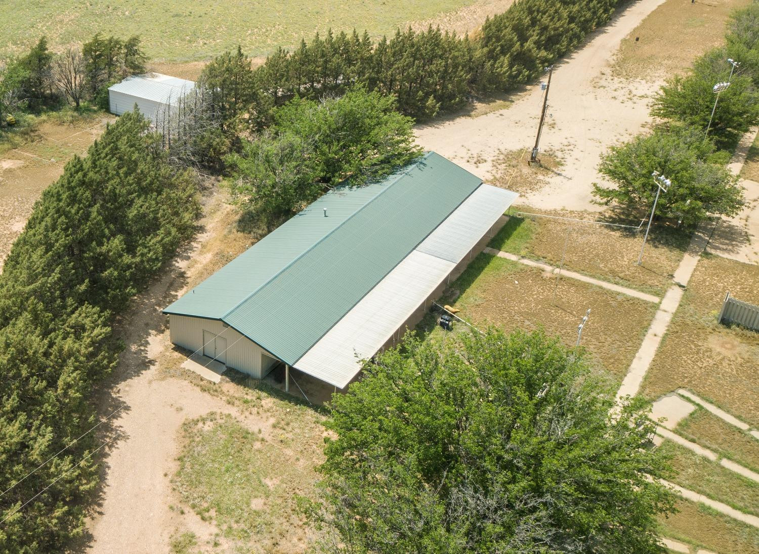
Aerial view of a green-roofed metal outbuilding with a covered side area among trees and dirt roads.
Aerial view of a rural property with a green-roofed barn, fenced pens, and a tree-lined drive.
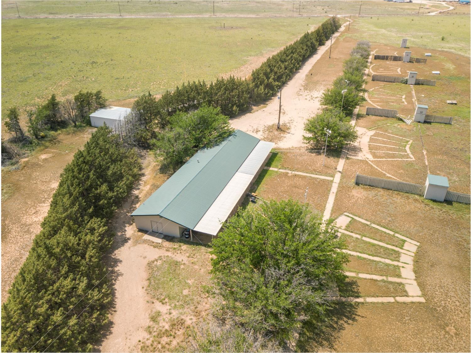
Aerial view of rural property with a tree-lined driveway, small building, outbuildings, and fenced enclosures.
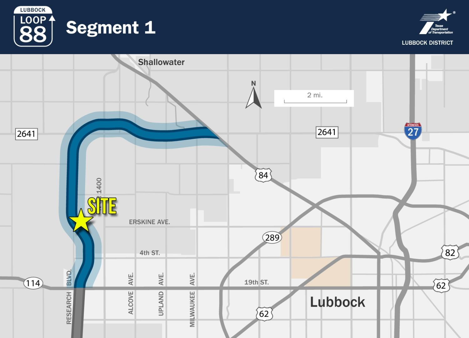
Map marking the site on Loop 88 Segment 1 west of Lubbock, near Erskine Avenue and Research Boulevard.
VIEW PHOTOS
Price Upon Request

910 N County Road 1300 Road

89.47 Acres

Description

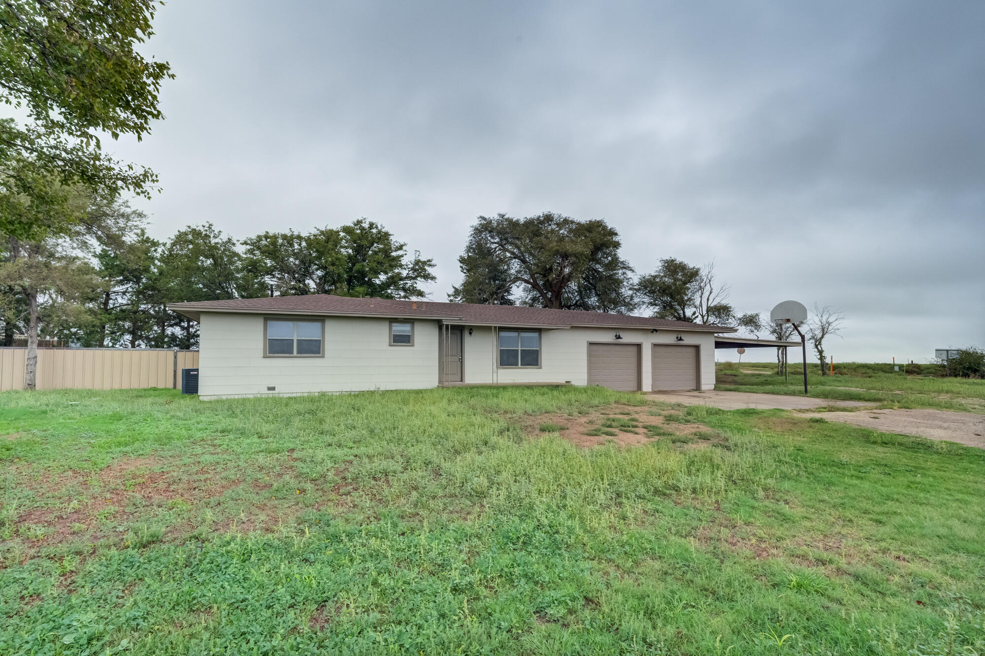
An interesting combination of investment and opportunity lies here in West Lubbock situated on 90+/- acres. Located on Research Blvd (N CR 1300) this future Loop 88 frontage property is well positioned for a long term purchase with income potential. Long lived as the South Plains Gun Range this property could be repositioned to continue as a range, or perhaps an RV park, you name it! Not only could this property have frontage on Loop 88 on the west side but on the NE side there is over 1,200ft+/- of rail access. Come take a look at this versatile piece of property and make your dreams come true. There is a 2,400sqft office/recreational building along with an oversized shop/barn. Great infrastructure in place already! Why buy raw land when you can have something as unique as this?

Share Property

Location

910 N County Road 1300 Road, Lubbock, TX 79416

Status

Sold

Date Sold

May 23, 2024

Property Amenities

Area & Lot
Lot Area 89.47 Acres
MLS® ID 202406457
Type Land
Status Sold
Jarrett Thornton

Jarrett Thornton

TITLE

Real Estate Broker

Start the Conversation

Curious about investment options, market trends, or future strategies? Jarrett is always up for a conversation—whether you’re actively transacting or just exploring possibilities.